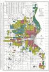
James Ellroy’s Wisconsin Police Gazette: Red Darktown » milwaukee 1930s HOLC lending map
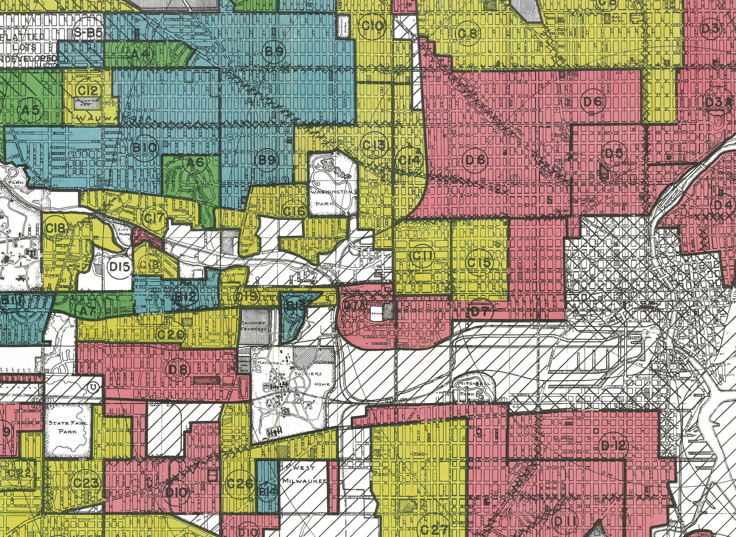
A ‘residential security’ map of metro Milwaukee in the 1930s. Created from appraisal categories that considered the ethnicity of a neighborhood as a primary factor, these Redlining maps viewed African Americans as an eyesore and a liability, and sought to isolate them from the wealthier white neighborhoods.